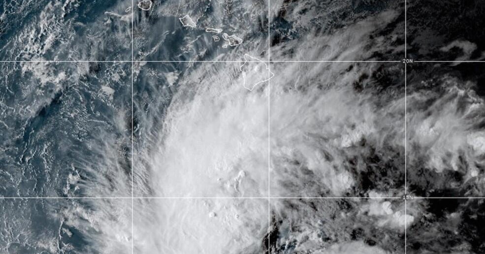
The storm path
If you're in Hawaii, you need to be alert. Tropical Storm Nolo just formed in the Pacific, and it’s lowkey moving with some serious energy. As of Wednesday night, the storm was packing sustained winds of 45 mph and drifting west-northwest. However, experts at the National Hurricane Center say we should expect a sharp turn toward the north, putting it on a direct collision course with the Big Island.
Why it’s giving major stress
The forecast is honestly looking pretty grim. Nolo is expected to level up into a hurricane by Thursday night, and it could hit Category 3 status—a major hurricane with winds of at least 111 mph—by the time the weekend rolls around. It’s giving major "stay inside" energy, especially because of the water.
We’re looking at 15 to 20 inches of rainfall on the Big Island, but some spots could see up to 35 inches. That much rain is a recipe for life-threatening flooding and mudslides, especially where the terrain is steep. Maui isn't out of the woods either, with up to 20 inches of rain predicted for some areas.
The Pacific is acting out
Real talk, this hurricane season in the Pacific has been wild. Nolo is showing up while Hurricane Polo is still churning off the coast of Mexico. Plus, Hawaii is still recovering from a string of bad luck. Earlier this month, Hurricane Lowell wrecked roads and power lines in Kauai and Niihau, and just last month, Hurricane Lala washed away around 100 homes. The vibes are definitely off for the islands right now.
Why it matters
With multiple storms hitting back-to-back, infrastructure is being pushed to the limit. If you’re in the projected path, stay safe and keep an eye on official updates—this is not the time to test your luck.