The storm's path
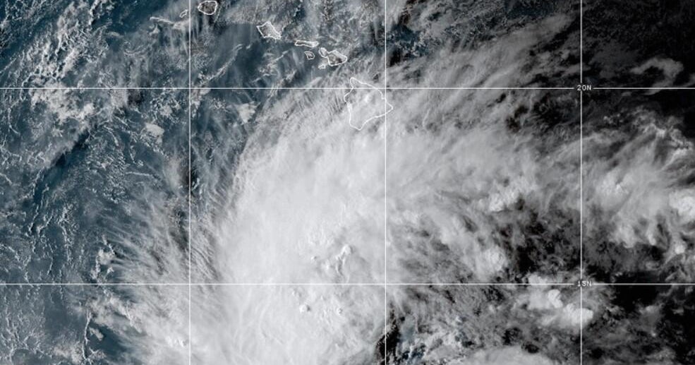
Hurricane Polo is currently wreaking havoc on Mexico’s Pacific coastline. The storm, which hit Category 5 status before settling into a Category 4, is packing sustained winds of 155 mph. As of Thursday, it was churning about 195 miles southwest of Zihuatanejo and 150 miles south of Manzanillo, moving west-northwest.
Impact on the coast
Videos surfacing online show Acapulco getting absolutely hammered. We’re talking massive waves crashing into the waterfront and intense winds whipping through the streets. It’s giving full-blown disaster movie vibes, with dark clouds and heavy downpours moving in.
Mexican authorities have already shut down several ports to keep people safe from life-threatening surf and flooding. The National Hurricane Center (NHC) expects up to 6 inches of rain to dump on the regions of Michoacán, Colima, Jalisco, and Nayarit.
Is it hitting the U.S.?
While California isn't in the direct line of fire, the vibes are definitely off for the coast. The National Weather Service is warning that San Diego, Orange, and Los Angeles counties could see dangerous 4- to 7-foot swells and rip currents over the next few days.
AccuWeather expert Nicholas Arman noted that this is a classic El Niño situation where the storm pulls tropical moisture toward the southwestern U.S. There’s a chance Polo could head toward the Baja California Peninsula by early next week, and its path might even drag some extra moisture into Texas.
Why it matters
This is one of the most intense systems we've seen in the eastern Pacific all season. After rapidly intensifying from a tropical storm earlier this week, Polo serves as a major reminder of how quickly these weather events can go from zero to a hundred.