The Bangkok situation
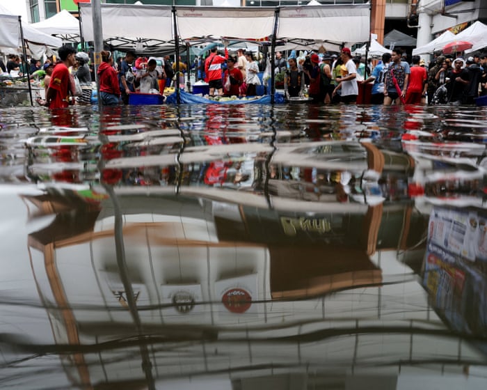
Real talk, Bangkok is having a rough one. City officials officially labeled the capital a "disaster zone" late last week after non-stop thunderstorms left streets submerged in waist-high water. It’s giving major chaos energy. A low-pressure cell basically parked itself over central Thailand, dumping a massive amount of rain. One station near Prachin Buri clocked over 200mm in a single day—which is, like, a massive chunk of what a place like London gets in an entire year. Thankfully, that cell finally dipped out on Sunday, giving the city a chance to dry off.
Pacific hurricane watch
While Thailand is dealing with the floods, the Pacific Ocean is acting up in a major way. Hurricane Nolo gave Hawaii's Big Island a massive scare over the weekend as a Category 2 storm. We’re talking 100mph winds and insane rainfall that caused major flooding and mudslide concerns. The good news is that Nolo has moved westward away from the islands, though it’s expected to ramp up to a Category 4 intensity today, Monday, September 28.
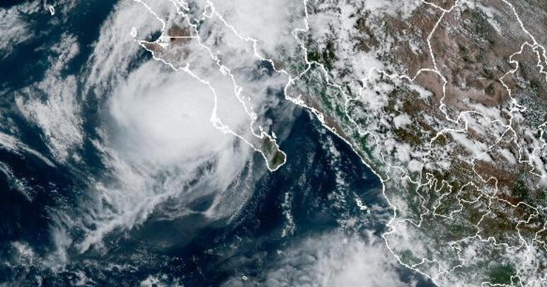
Meanwhile, the plot thickens for Mexico. Hurricane Polo is currently on track to hit the Baja California peninsula today. It’s downgraded from its former Category 5 status to a Category 2, but it’s still packing winds up to 110mph. Expect serious downpours and a storm surge that could cause life-threatening flooding and landslides in the region.
Why it matters
We’re seeing these extreme weather events hit multiple corners of the globe back-to-back. Whether it’s flooding in major urban hubs or hurricanes threatening coastlines, the impact on infrastructure and communities is real and dangerous. Stay safe and keep an eye on local alerts if you're in these areas.